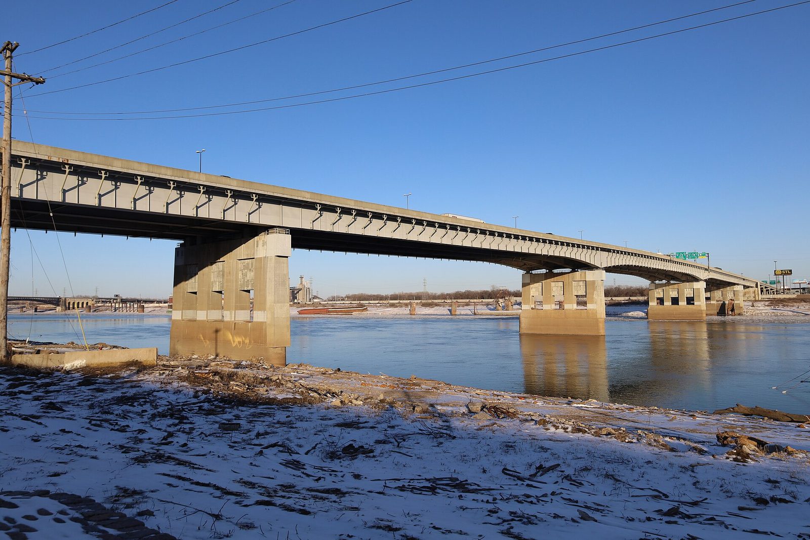
Four interstates cross the Mississippi at St. Louis, and for a stretch downtown, most of them share one bridge. The Poplar Street Bridge carries I-64, I-55, and, depending on the signage year, I-70's traffic onto a deck that was never meant for what the metro now asks of it. Every driver in the region knows the feeling of the merge there: lanes that end without much warning, trucks that cannot see a sedan in the seam, and a stop that comes a half second after the car ahead stopped. That half second is where this desk's beat begins.
This page is the river city's crash geography as the desk hears it. It is not a statistical report; the Missouri and Illinois transportation departments publish those and this desk does not invent numbers. The counts it can source, from the Missouri State Highway Patrol, are on the numbers desk. It is a reading of where the roads squeeze, because where the roads squeeze is where the rear-end hit lives, and the rear-end hit is the single most common mechanism behind the neck injuries and concussions this report covers.
The Poplar Street squeeze
Downtown, eastbound, afternoon. Traffic from I-64 and I-55 funnels toward the bridge, with the I-44 feed arriving from the south side. The lane math does not work, and drivers know it, so they brake early, brake late, and brake in the wrong lane. A driver who was looking over a shoulder for a gap at the moment a car ahead stopped is the textbook setup for a turned-head whiplash: the neck takes the load unevenly, and uneven loads are the ones that hurt. After a St. Louis wreck follows what happens next, hour by hour.
I-44 and the south side
I-44 runs in from Fenton past Sunset Hills and Shrewsbury to the Kingshighway interchange and on downtown. Its trouble spots are the interchange with 270 and the long stop-and-go into the city, where the grade, the curves, and a morning sun in the eastbound lanes make the car ahead hard to read. The Tesson Ferry office sits on the south side of this corridor, close to where I-270 and I-55 meet 44's catchment. The south side and the Tesson Ferry office is about that part of the map.
I-55 and the river road south
I-55 comes up from Arnold and the Jefferson County line, along the river through south county and south city, past the Loughborough and Bayless exits, and into the downtown knot. Its commute is long and its braking is sudden, and the drivers on it tend to be working people on fixed shifts, which is exactly the population that feels fine at the scene and cannot afford to be laid up three weeks later. Tesson Ferry and I-55 are a short drive apart.
I-64 and the central corridor
Highway 40, as the city still calls it, carries Chesterfield and west county into Clayton and the Central West End and on to the river. Its crashes cluster at the 270 interchange, the Hanley and Brentwood stretch, the Kingshighway ramps, and the approach to the bridge. A rear-end hit at 40 and 270 on a Friday is the kind of crash this desk hears about most: moderate speed, moderate damage, a driver who drove home, and a neck that announced itself on Sunday.
I-70 and the north county run
I-70 runs from the Blanchette Bridge at St. Charles through Bridgeton, past the airport, through Hazelwood's catchment to the I-170 and I-270 interchanges, and down to downtown. It is the region's truck road, and trucks change the shape of a crash: the stop comes from higher, the blind spots are larger, and the driver who gets tapped is often in a much lighter vehicle. The Hazelwood office at 14 Village Square sits right in this corridor's north county reach. The O'Fallon office covers the far west end of the same road, out past the Missouri River.
I-270 and I-170, the loop and the spur
I-270 ties all four corridors together in a half ring from the Chain of Rocks to Jefferson County, and its interchanges are where the metro's crashes concentrate. The 270 and 70 knot in Hazelwood, the 270 and 64 knot near Creve Coeur, the 270 and 44 knot in Sunset Hills, and the 270 and 55 merge in south county. I-170 cuts a short spur from Lambert down to 64. If you drive in this metro, you drive through one of these knots daily, and the rear-end hit at the end of a sudden stop is the crash you are most likely to have.
The surface streets
Not every wreck is an interstate wreck. Gravois, Kingshighway, Lindbergh, Manchester, Natural Bridge, Tesson Ferry, Lemay Ferry, Watson, Chippewa, and the brick-lined side streets of south city generate the low-speed crashes this desk takes just as seriously: parking lot taps, stop sign rolls, a turn in front of oncoming traffic at a four-way. The 72-hour lag explains why a fender bender on Chippewa is not proof of no injury.
What the map is for
The map is for picking an office. Three offices cover the three sides of the metro the interstates divide: Tesson Ferry for I-44 and I-55 and the south side, Hazelwood for I-70 and I-270 north, O'Fallon for the far west reach of I-70 and I-64. Pick the one you can drive to this week, call, and say it was a car crash. Three offices across the metro has every address and phone.
Educational only. Nothing on this page is medical advice or a diagnosis; a licensed clinician who has examined you is the person to ask. Facts about the clinic come from moinjuryclinic.com. Emergency symptoms go to the emergency room, not to a clinic or a website.